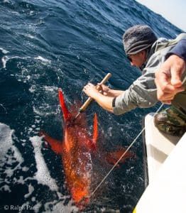
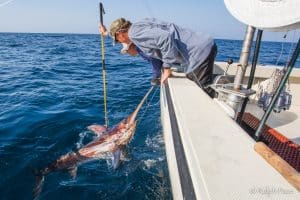
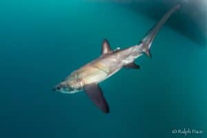
PIER uses advanced satellite tagging technology to better understand the movement patterns and migration habits of marine fishes found off our coast. Outcomes from these ongoing studies are used to fill in crucial data gaps to ensure that fisheries managers have the most accurate, up-to-date information possible.
Tag data is also used in PIER’s gear development research.